

📝 Disclaimer: The content on this site is for informational and educational purposes only and does not constitute professional advice. Always practice proper safety measures when camping and using outdoor gear.
* This post may contain affiliate links. As an Amazon Associate, we earn from qualifying purchases at no extra cost to you.
* This site uses AI technology for content assistance and illustrative imagery. Images are for demonstration purposes and do not depict real people or events.
What a Camping GPS Navigation Device Is
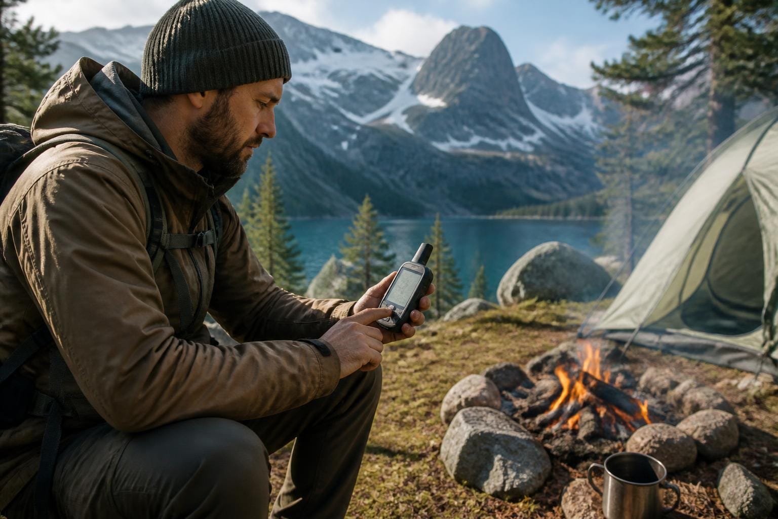
A camping GPS navigation device is a portable electronic unit associated with location awareness in outdoor settings. It may display geographic position, mapped terrain, route lines, elevation information, or other landscape references. The term can describe a dedicated handheld device, a vehicle-mounted screen, or a navigation function within a general-purpose electronic device.
In camping vocabulary, the phrase connects technology with outdoor orientation rather than with a particular brand or model. Its meaning often appears alongside words such as waypoint, coordinates, trail map, elevation, route, signal, and satellite positioning.
Role in a Campsite and Travel Setting
Within a campsite environment, a navigation device is commonly viewed as part of the electronics category. It may be placed with phones, charging equipment, headlamps, cameras, or other compact devices. The surrounding layout can include tent areas, vehicle storage, tables, packs, and map materials.
The device may support a distinction between the campsite itself and the wider landscape. A tent or vehicle represents a temporary base, while the displayed map presents a broader view of roads, paths, waterways, ridgelines, and named areas. This difference gives the term both a gear meaning and a landscape-orientation meaning.
Common Terms Associated With the Device
Navigation vocabulary often describes information shown on a screen rather than physical features of the campsite. A waypoint is a saved location marker. Coordinates express a position through a geographic reference system. Elevation describes height in relation to a mapped reference level. A track may represent recorded movement, while a route is a line or sequence used to describe travel between locations.
Signal language can also appear in descriptions of electronic navigation. Reception, satellite visibility, screen readability, battery state, and map coverage describe operating conditions or information quality. These terms are observational and can vary with terrain, vegetation, weather, device design, and surrounding structures.
Environmental and Cultural Context
Camping GPS terminology belongs to a broader outdoor culture that combines traditional map language with digital tools. Printed maps, trail signs, landscape landmarks, and electronic screens may all appear within the same recreational setting. The device is one visible part of a campsite’s relationship with place, distance, and terrain.
Dense forest, steep slopes, narrow valleys, cloud cover, and limited visibility are common environmental references in discussions of outdoor navigation technology. These conditions describe the setting in which electronic information is viewed, not a guarantee of precise location information. Campsite culture also includes quiet recreation, low-impact travel, and respect for shared outdoor spaces, with the device remaining a background tool within that atmosphere.
Related Vocabulary and Observations
- Waypoint: A saved or marked geographic position displayed within a digital map.
- Coordinates: A numerical expression of location, often presented as latitude and longitude or another grid system.
- Elevation: A measurement describing height in relation to a geographic reference level.
- Map layer: A selectable information category, such as roads, terrain contours, waterways, or place names.
- Screen visibility: The ease with which map information can be viewed under changing daylight, shade, glare, or weather conditions.
- Battery state: The remaining electrical capacity shown by an electronic device during outdoor use.
- Satellite positioning: A location system that uses signals from orbiting satellites to estimate geographic position.
- Campsite orientation: The relationship between a temporary camping area and surrounding landmarks, routes, or mapped terrain.
Place, Technology, and Outdoor Vocabulary
The phrase camping GPS navigation device terminology context can therefore be understood as a group of words linking electronic location tools with recreational landscapes. Its vocabulary covers devices, displayed information, physical terrain, visibility conditions, and campsite layout without being limited to one equipment type.
In educational camping language, these devices represent the meeting point between digital mapping and direct observation of the outdoors. Their terminology helps describe how campers relate to distance, position, terrain, and temporary places in a modern recreational setting.